CopterCurrents
An Open Source Toolkit for Surface Current Field Measurements from Video Data
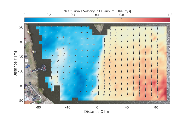
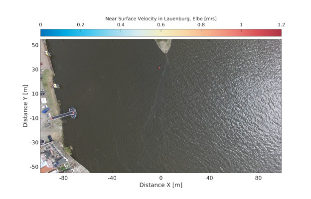
Surface current field of the Elbe river at the city of Lauenburg, Germany. The current field was retrieved via the CopterCurrents toolbox from a 30 s video sequence acquired by a off the shelf quadcopter. To see the water surface click on circle and slide window to the left.
CopterCurrents is a MatLab based set of tools designed to extract water surface current fields (flow speeds) from unmanned aerial vehicle (UAV) video.
Citing:
CopterCurrents is free software published under the GNU GPLv3 license. When using CopterCurrents, please reference to the following article:
M. Streßer, R. Carrasco and J. Horstmann, "Video-Based Estimation of Surface Currents Using a Low-Cost Quadcopter," in IEEE Geoscience and Remote Sensing Letters, vol. 14, no. 11, pp. 2027-2031, Nov. 2017. doi: 10.1109/LGRS.2017.2749120 View at publisher
The author's version of the manuscript is available via the Hereon library.