Clean Shipping Project Platform - CSHIPP
Map Galleries
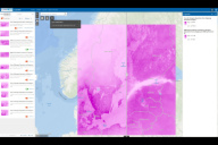
CSHIPP Explorer
Map collections in the CSHIPP Explorer describe pollutant concentration distributions caused by shipping emissions in the Baltic Sea region.
The Explorer incorporates chemistry transport model results for the year 2012 and for different emission scenarios in 2040. The data can be visualized and compared to each other. Regional and seasonal differences can be explored.
The CSHIPP Explorer


